East of Gulf Breeze proper, both sides of Gulf Breeze Parkway belong to the Naval Live Oaks Area of Gulf Islands National Seashore, about 1,337 acres of federal forest between Pensacola Bay and Santa Rosa Sound. The park headquarters sits at 1801 Gulf Breeze Parkway.
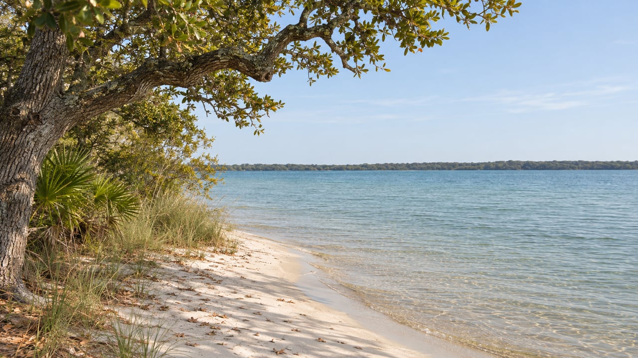
U.S. 98 divides it into two different places. The south side is a short, shaded walk with water views and a picnic area. The north side has long, sandy trails with no boardwalk under your feet, and several of them end on Pensacola Bay. A good visit there starts with picking a side of the highway.
With Thanksgiving a week away and family on the way, here is how each side works.
The south side: boardwalk, shoreline and the gate that closes at sunset
The south side is the part most visitors see. Its automatic gate on Highway 98 opens at 8 a.m. and closes at sunset all year, and overnight parking is not allowed. A late-afternoon walk on the south side should end before the gate closes.
The Brackenridge Nature Trail starts behind the headquarters building. It is a 0.3-mile boardwalk loop, and a second 0.5-mile loop turns it into a 0.8-mile figure-eight through coastal forest, with interpretive signs and overlooks of Santa Rosa Sound and the Pensacola Bay Bridge. The National Park Service lists it as fully accessible, so it suits a grandparent, a stroller or anyone who would rather not walk in sand.
Brackenridge connects to the Fishing Trail, which runs 0.92 miles one way, or 1.84 miles out and back, along the Santa Rosa Sound shoreline parallel to U.S. 98. It has water-access points along the way and three highway pullouts where you can park and step onto it partway down. Walk the figure-eight, then follow the Fishing Trail out along the water, and you have a walk of about two and a half miles that never leaves the Sound side.
The picnic area has tables, grills, restrooms, parking and a view of the Sound. There are no concessions anywhere in the area, so a picnic means bringing your own food and drinks. On restrooms, the NPS area page lists them at the pavilions and also directs visitors to the one east of the headquarters building. The headquarters building itself is for staff only.
The north side: sand, ponds and the bay
North of the highway, the paths are sandy, and three of the trailheads are on residential streets. The north gate stays closed unless a campground group is using it, though visitors can park in the lot next to it. The rest of the north side is reached from Reservation Road, Bayshore Road and Gulf Breeze Hospital, and each trail has its own parking situation.
The National Park Service lists ten named trails in the area: Andrew Jackson, Beaver Pond, Brackenridge Nature, Brown's Pond, Fishing, North Bay, North South, Old Borrow Pit, Old Quarry and Pine Scrub Loop. Brackenridge and Fishing are on the south side. The rest are north of the highway. Here is where each north-side walk starts:
- Andrew Jackson Trail is a wide, sandy route that runs 2.4 miles one way across the north side. Its trailheads are by the youth group camp, by Gulf Breeze Hospital and on Bayshore Road, and side trails branch off toward the bay.
- Beaver Pond Trail starts from Reservation Road and runs 1.3 miles one way, or 2.6 out and back, to a beaver dam at its north end. It connects to Old Borrow Pit, Brown's Pond, North South and Pine Scrub.
- Brown's Pond Trail is a 2-mile out-and-back from Reservation Road. The pond sits near the trailhead, and the east side of the route follows a sandy firebreak to U.S. 98. The National Park Service notes there is no parking in the residential area.
- North South Trail is a 2.2-mile out-and-back between Reservation Road and U.S. 98, with a side spur to Pensacola Bay.
- Old Borrow Pit Trail is a 1.8-mile out-and-back on sand with little shade. A dirt pull-off farther along Reservation Road is the place to park.
- Old Quarry Trail starts on Bayshore Boulevard, runs 1.7 miles out and back and ends at North South. Roadside parking there is limited.
- North Bay Trail is a sandy spur, 0.3 miles there and back, from Andrew Jackson down to Pensacola Bay. Pine Scrub Loop is a sandy 0.5-mile route from Andrew Jackson, near North Bay, down to the same water.
These trails link together. Beaver Pond, Brown's Pond, North South, Old Borrow Pit and Old Quarry all cross one another between Reservation Road and the highway, so you can combine them into a longer loop. The park counts about 7.5 miles of hiking trails across the whole area. A paved multi-use path also runs east-west through the area for 2.411 miles beside Highway 98, between the two sides.
It costs nothing to walk here
Naval Live Oaks charges no entrance fee. Within the Florida district, the National Park Service charges entrance fees only at Fort Pickens, Opal Beach and Johnson Beach. If you need an annual pass or a park passport stamp for a visiting relative, you have to get it at Fort Pickens, because the Naval Live Oaks headquarters does not sell either.
The trail that used to be a federal highway
The sandy Andrew Jackson Trail is the oldest part of the area. It is a remnant of the Pensacola–St. Augustine road, also called the Bellamy Road, which the National Park Service describes as Florida's first major federal highway. Construction began in 1824, and the trail was added to the National Register of Historic Places on September 28, 1998.
The forest has a history of its own. In 1828 the federal government set aside this land between Pensacola Bay and Santa Rosa Sound to grow live oaks for Navy shipbuilding. The Park Service ties the program to President John Quincy Adams. According to the National Register documentation, the reservation operated from 1828 to 1861 and at one point covered more than 15,000 acres. Henry Brackenridge, the namesake of the boardwalk trail, worked the property before the federal government acquired it. The same record lists traces of the 1824 road north of U.S. 98, wharf remains visible at low tide, archaeological features from the plantation era and the occupation of the land by Confederate troops in 1861.
Those details are useful to have when guests ask why a national seashore includes a forest on the mainland. The oaks along Brackenridge were, at one point, a Navy shipbuilding reserve.
Since Isaias
Hurricane Isaias closed the area for a time. A park release dated Oct. 18 said Naval Live Oaks, its headquarters and all of its trails were closed because of downed trees. On Oct. 26, the National Park Service reopened the Naval Live Oaks area. In the park's reopening release, superintendent Rick Clark said, "Isaias caused no substantial damage to buildings or infrastructure in the park's Florida or Mississippi Districts." The release also asked visitors to use caution on trails and stay out of signed closed areas. As of its Oct. 26 update, the park's temporary closures page listed no closures at Naval Live Oaks. The active closure on that page was at Battery 234 in the Fort Pickens area. Check that page before a long walk on the north side.
Our Gulf Breeze neighborhood page covers the rest of the peninsula.
Owners who live near Reservation Road or Bayshore can walk to a trailhead without dealing with the parking limits on those streets. If you own a home on the Gulf Breeze peninsula and want to know how that location shows up in its value, The Mark Lee Team can walk you through it. Request a Complimentary Market Evaluation and we'll prepare one for your address.